Subscribe to:
Post Comments (Atom)
skip to main |
skip to sidebar
Labels
- Art (3)
- comment (1)
- Directions (1)
- Link (1)
- News Article (1)
- Photos (37)
- Poems (2)
- Posters (1)
- Video (1)
- Writing (2)
Followers
About Me
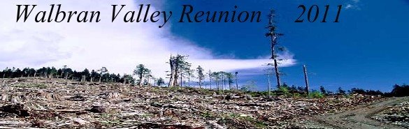
- Welcome to the Walbran valley reunion blog
- I would like to acknowledge that the Walbran Valley is unceded First Nations territory. The summer of 2011 made it 20 years since the beginning of the direct action blockades to stop clear-cut logging in the valley. This blog helped organise the 20 year reunion, which was a great success and now I hope the blog will remain and grow as an archive of the on going struggle for its protection. And for it to also inspire you to go out and connect with nature. So please share your stories, photos, newspaper cuttings, poems, recollections, drawings, essays and any ideas for future reunions. you can post them as comments and i can put them on the blog or you can email me. demarmont@yahoo.ca This blog archive is an open resource for anyone to use but please acknowledge your sources, thanks.
No comments:
Post a Comment